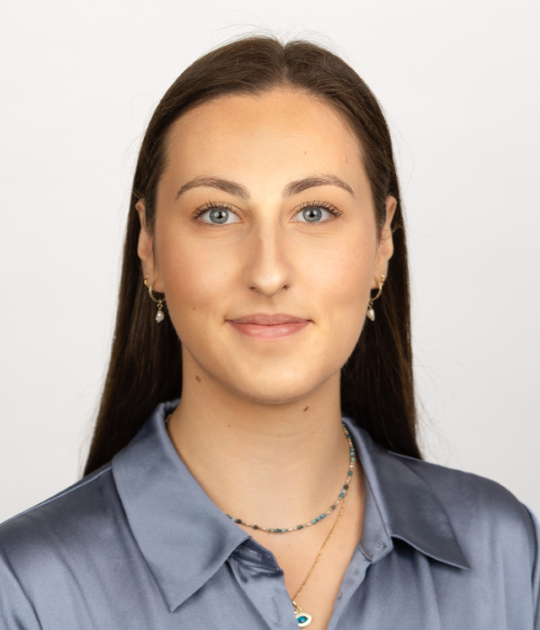
Stephanie is a recent Master of Geography graduate from the University of Melbourne (2020) and has experience in coastal and fluvial geomorphology, science communication, integrated water management, GIS and drones.
Stephanie’s technical background is in coastal geomorphology, with a strong interest in hazards and risk assessment, coastal management, and adaptation. Her master’s thesis project focused on examining the role of rock structures, estuarine processes and open-coast conditions on seasonal-decadal scale shoreline change in Inverloch, Victoria. This project was completed under DELWPs Victorian Coastal Monitoring Program and primarily involved using UAV-based photogrammetry and historical imagery to measure shoreline change.
Stephanie provides essential communication, fieldwork, technical and GIS support. Since joining the Alluvium, Stephanie has worked on a variety of projects including numerous Coastal Hazard Adaptation Strategies (CHAS) across Queensland and the Kingston Coastal and Marine Management Plan. Stephanie is competent in serval programs including ArcGIS, QGIS, Pix4D and is currently developing skills in Python.
With a passion for coastlines, people, waterways and catchments, Stephanie aims to apply an interdisciplinary approach to achieve the best environmental and human outcomes possible.


